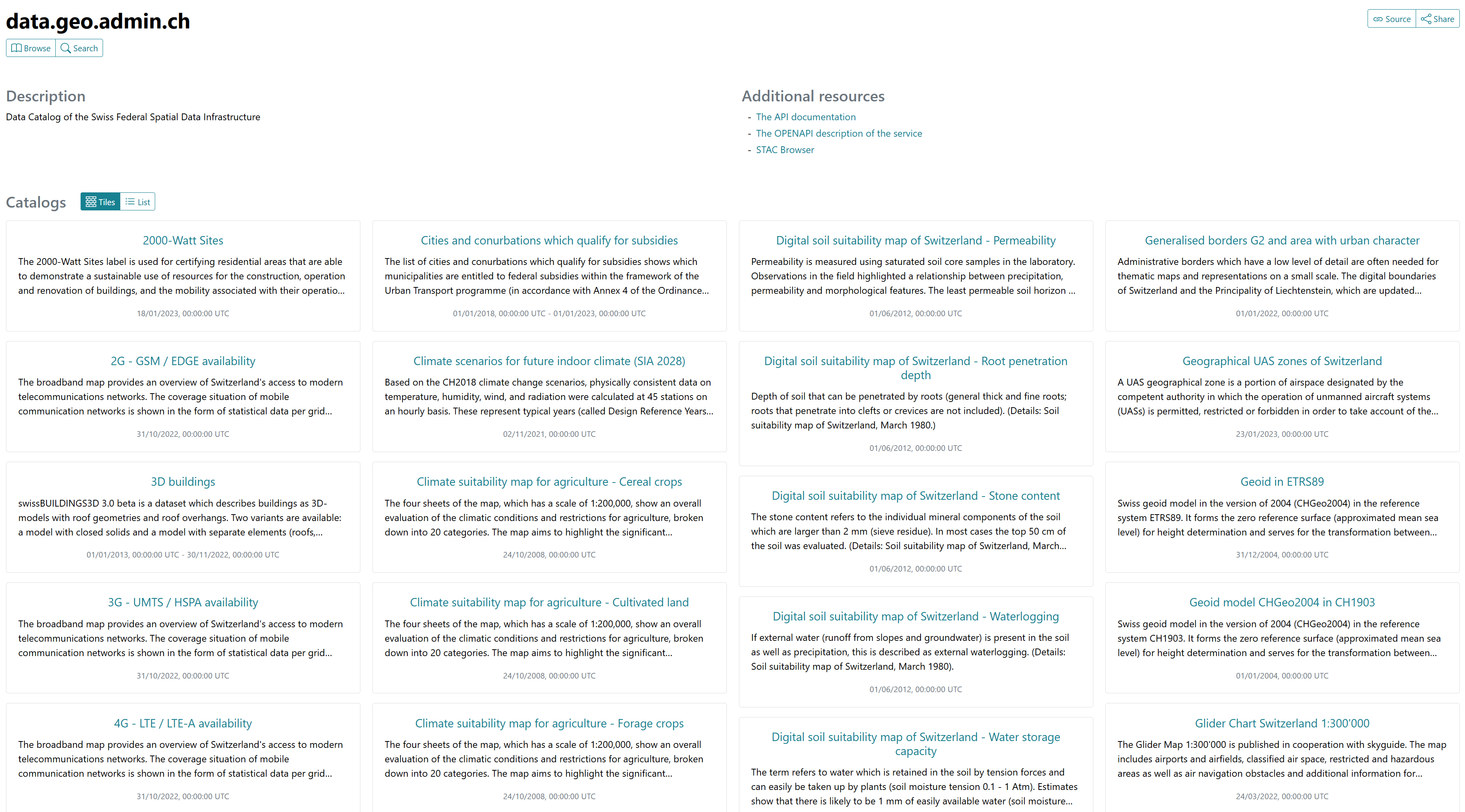
STAC
Client access
QGIS
QGIS supports STAC via the STAC API Browser plugin which can be installed via the plugin manager (Plugins > Manage and and Install Plugins).
Query STAC collections from QGIS
Follow these steps to connect to a service and query datasets:
- Create a new connection by clicking on
NewunderConnections - Enter the target url (e.g.
https://data.geo.admin.ch/api/stac/v0.9/)
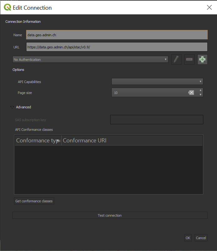
- open the
Searchtab, to find theNewbutton to create a new connection - add a connection to
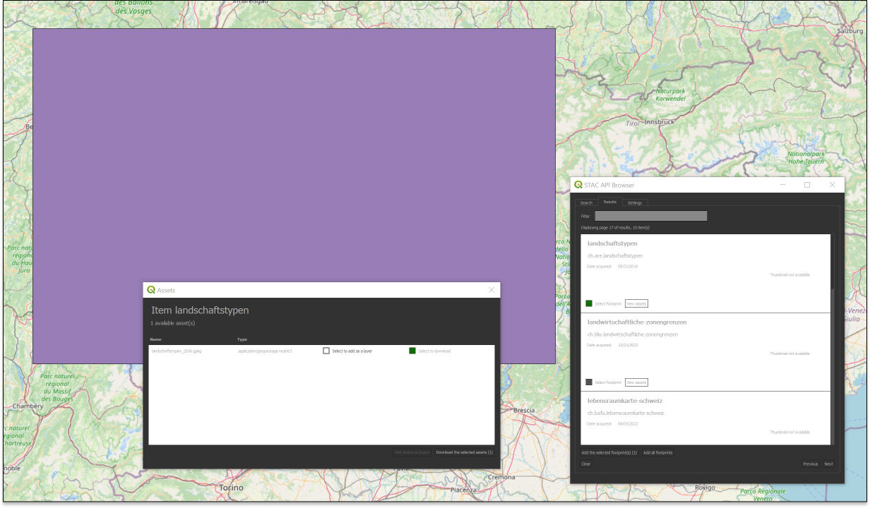
https://data.geo.admin.ch/api/stac/v0.9/ - click on the
Searchbutton to get information about the STAC collections - notice that when you select a search result, a footprint is drawn on the map highlighting the location of the dataset
- you can then download the item
STAC Browser
Query STAC collections from the STAC browser
- head to https://radiantearth.github.io/stac-browser/#/
- specify the following url:
https://data.geo.admin.ch/api/stac/v0.9/underPlease specify a STAC Catalog or API... - click on the
Loadbutton. - select the desired collection