OGC API Maps
QGIS
Although it does not directly integrate this functionality into its user interface, QGIS allows you to connect to OGC API Coverages endpoints through the GDAL drivers it uses.
Open an OGC API - Maps collection in QGIS
Follow the steps to add some collections from an OGC API - Maps enpoint:
- From the Layer menu, select
Add Layer>Add Vector layer
Tip
Alternatively, you can use the following key combination: Ctrl + Shift + R
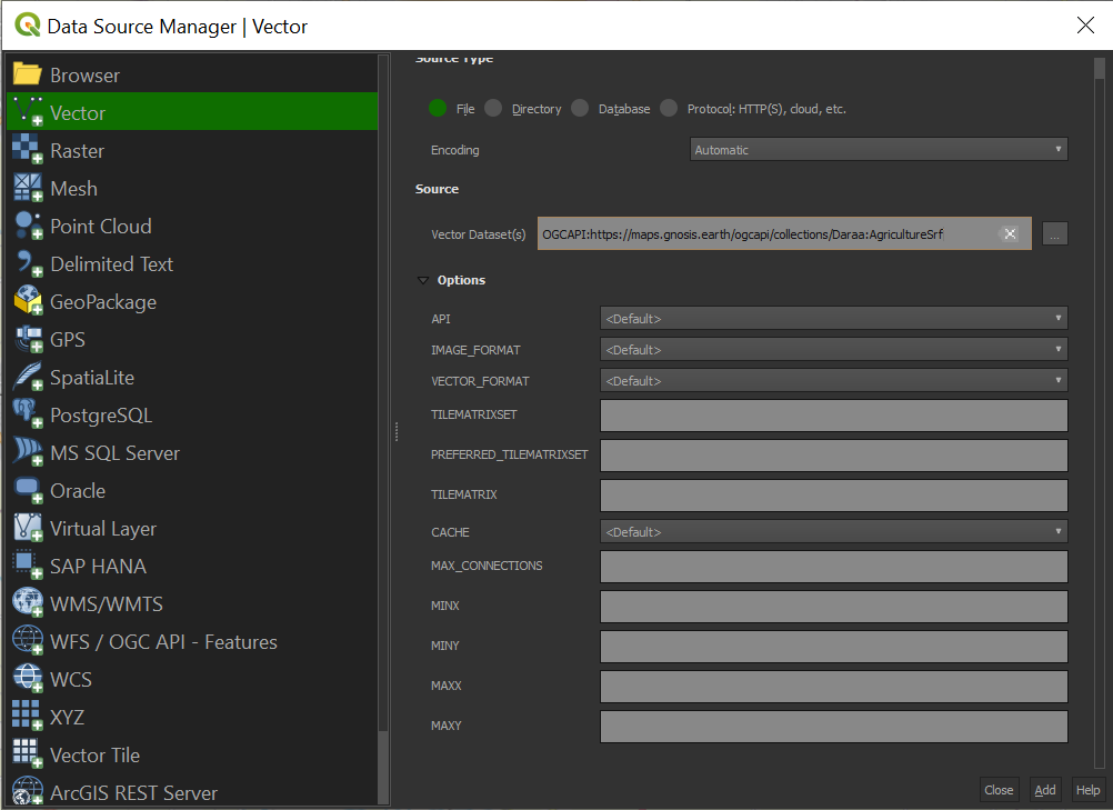 Connexion to an OGC API Maps service via QGIS
-
For the
Source TypechooseFile -
In the Vector dataset(s) field, provide the
collection_idendpoint (e.ghttps://maps.gnosis.earth/ogcapi/collections/Daraa:AgricultureSrf)preceded by the following string:OGCAPI -
Click on the
Addbutton
The following datasource should then been displayed in your QGIS client.
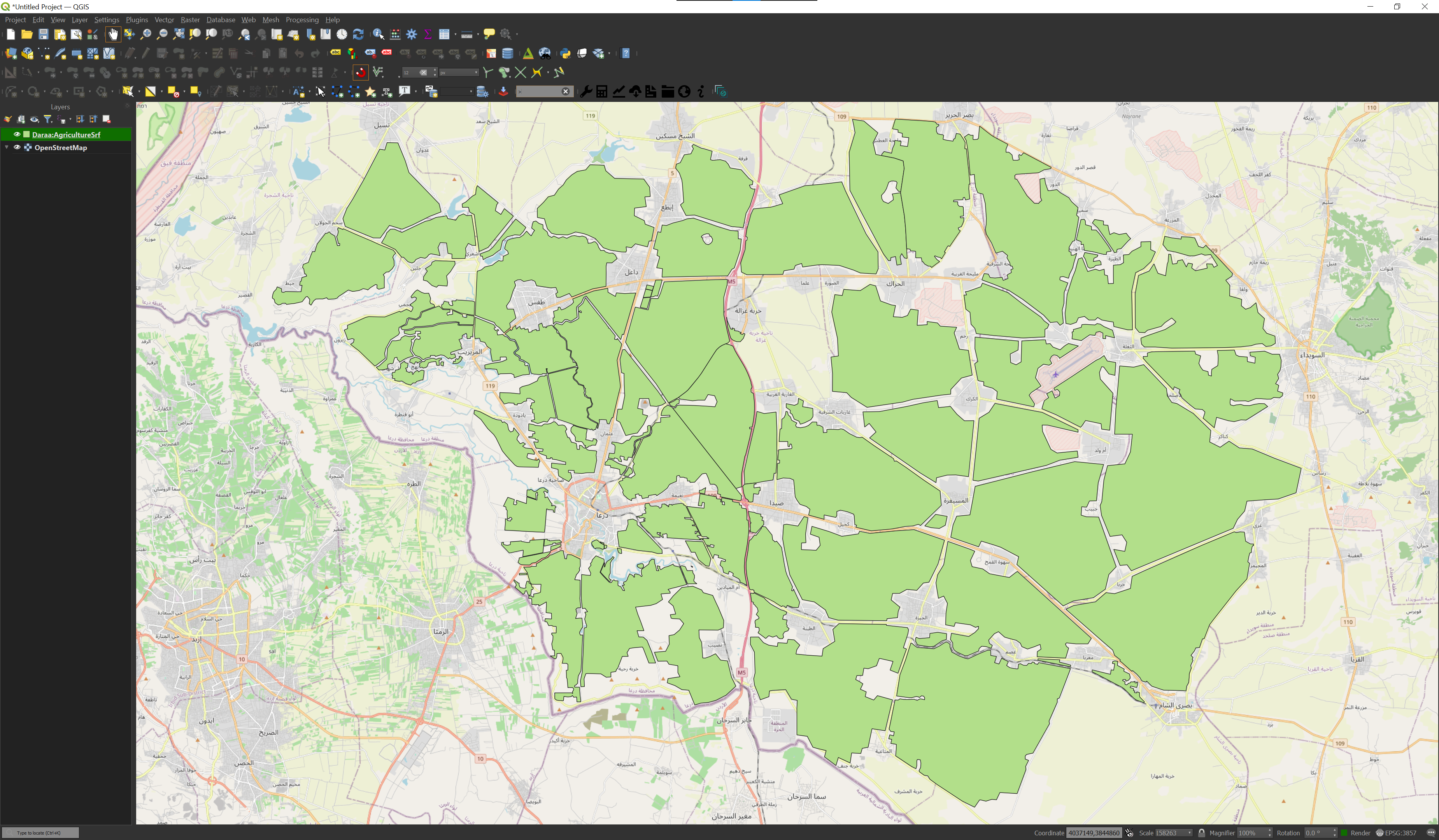 GNOSIS Daraa:AgricultureSrf